CUT MAPS
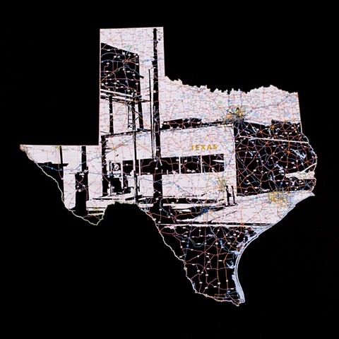
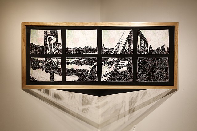
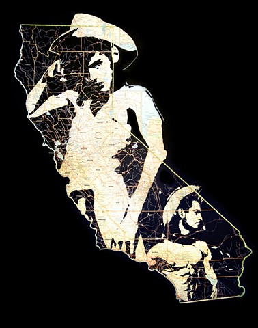
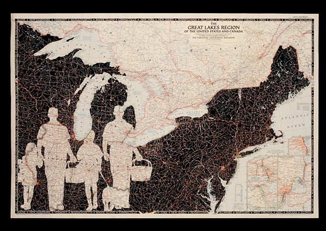
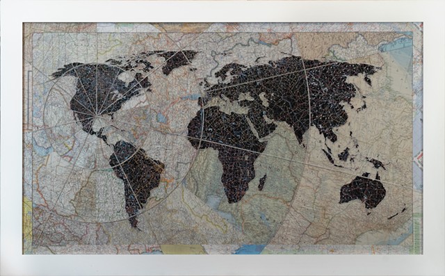
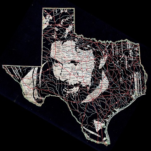
In this ongoing series of hand cut maps we scaffold graphic information over arterial networks of roads, highways and waterways to compose ‘geographic portraits.’
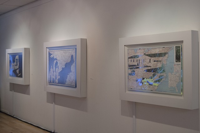
They are either displayed in front of video or against a black background to emphasize the negative space.
